GET YOUR BEARINGS.
Neutral ground. Dangerous territory. Your next destination.
Explore freely, or choose a tool.
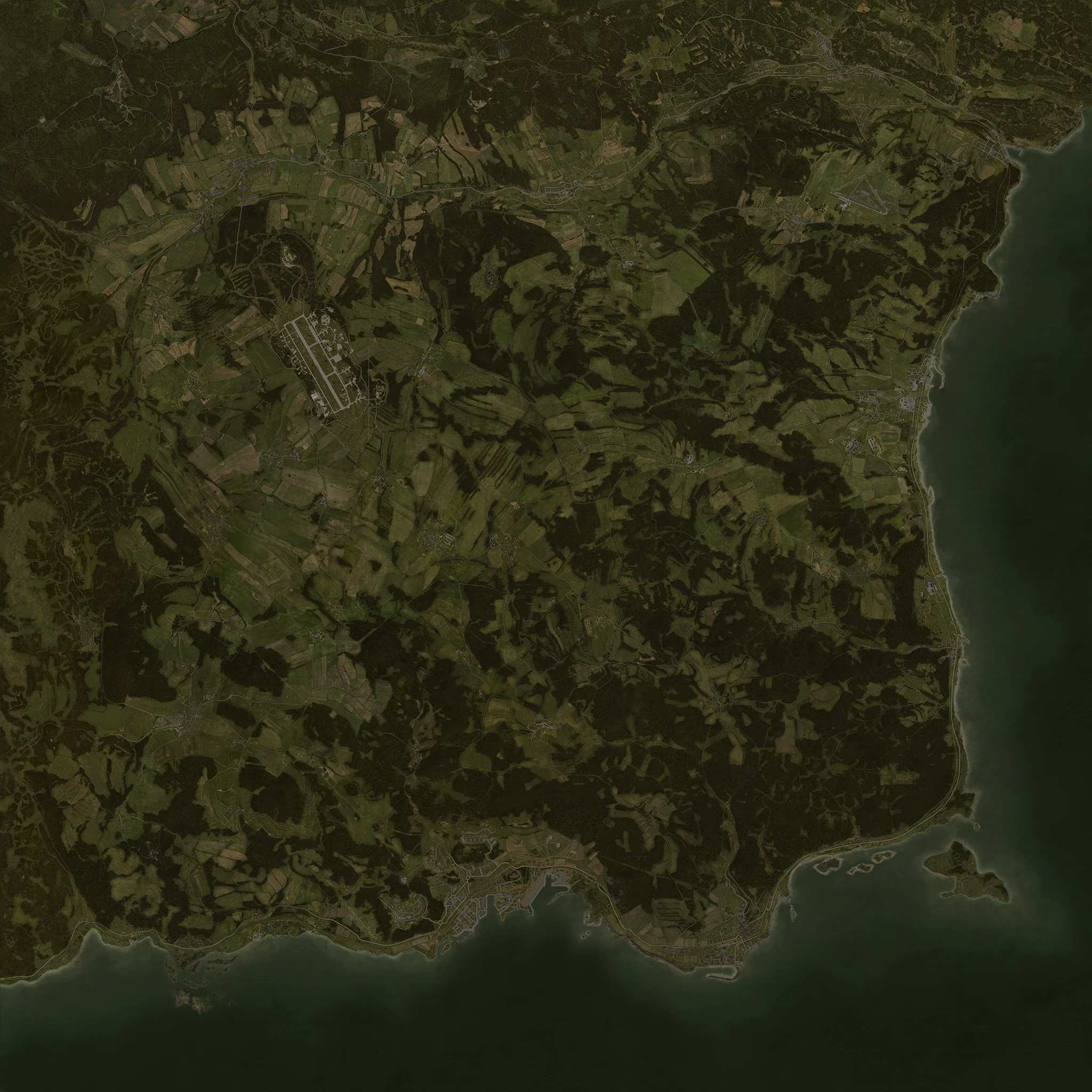 ChernogorskElektrozavodskBerezinoNovodmitrovskSeverogradSvetloyarskZelenogorskStary SoborVyborKrasnostavSolnichniyGorkaDevil’s CastleRify shipwreckPrison IslandSkalisty IslandGreen MountainNW AirfieldBalota AirfieldNE Airfield
YOUR WAYPOINTS
Saved in this browser only, never shared with other players. Clearing browser data removes them. Offline file copies may keep separate saves.
No saved waypoints. Choose “Add waypoint”, then click or tap the map. Keyboard users can pan to a spot and choose “Use map centre”.
Scroll or double-click to zoom; drag to explore. On touchscreens, pinch to zoom and use one finger to pan. Keyboard: focus the map, use + / − to zoom, arrows to pan and 0 to reset. You can also use the buttons below the map. Select a numbered pin or use the directory for server details. White city labels and gold landmark labels are geographic references; they do not indicate safe zones or KOS areas.
Base map © Bohemia Interactive a.s. · Official ChernarusPlus source · ADPL-SA license. Converted to WebP with a separate community location overlay; map adaptations shared under ADPL-SA. Noncommercial, Arma/DayZ use only. Unofficial community reference.